

Ferries, islands, beaches, weather and airports
Croatia, planned from
the real timetables
A coastline with eighty islands hanging off it — and getting between them is half the pleasure, once you know which boat goes where.
- Every route in the 2026 state ferry register
- Air and sea temperatures from the national weather service
- Fares from the official 2026 tariffs
Photo: Michael Metschl / Unsplash
Which islands are an easy day out, whether the car can come too, how warm the sea will be the week you arrive. Croatia publishes all of it, mostly in Croatian. We read it so your days line up and you spend them swimming rather than checking timetables.
Start with the question
What are you planning?
Pick the part of the trip you are stuck on. Every guide opens with the short answer, then the detail.
How we work
The unglamorous part, done properly
Most Croatia advice is written from memory and repeats itself. The things that quietly ruin a trip here are not matters of taste — they are facts with dates attached, sitting in government registers nobody translates.
01
Read the register
The 2026 state coastal line register lists every route, who runs it, what kind of vessel it is, and whether a car can come. We transcribe it line by line.
02
Transcribe the tariffs
Fares are published per line, in Croatian, as PDFs. We hold 159 of them for 2026 — including the exact date each price steps up.
03
Check it against the source
Climate normals from the meteorological service, passenger counts from the statistics office. Nothing reaches a page without the document that published it.
Sixteen scheduled services connect Split with Hvar island. Thirteen reach Hvar town. Two carry a vehicle — and the fast catamaran that halves the journey cannot take your hire car at all.
None of which appears on a booking site
The network
Five gateways, and they barely connect
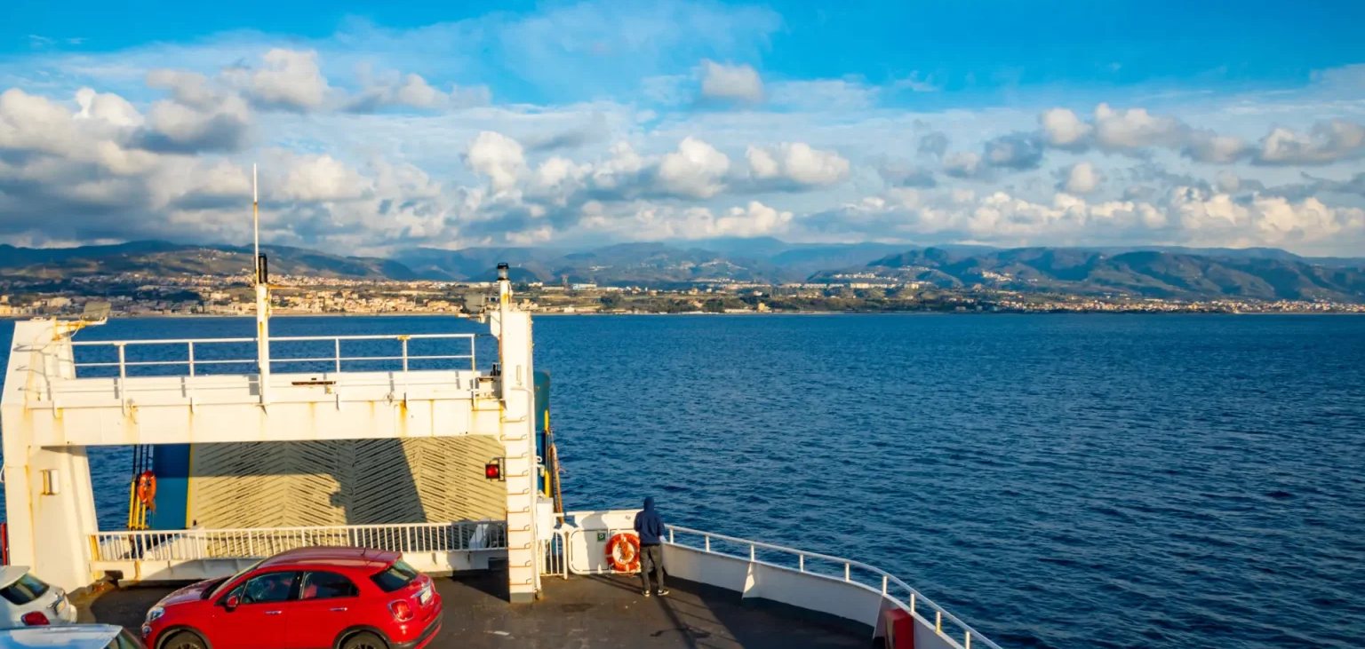
Which mainland town you start from decides which islands are a day trip and which are a day of backtracking. Roughly a quarter of the network disappears in winter, because seventeen of those routes carry no legal obligation to sail at all.
The coast as the register draws it. Source: Agencija ZOLPP, 2026 state coastal line register.
Start here
Three decisions, and everything follows
Every Croatia trip turns on the same three questions. Each one has an answer with a number or a date attached, which is the whole reason this site exists.
Where to stay
The base you choose decides which islands are a day trip. Split reaches six from one terminal; Dubrovnik reaches Korčula only between 3 July and 30 August.
Pick a baseWhen to go
The season does not fade, it stops. Split averages seventeen days above 25 °C in September and one in October.
Compare the monthsGetting around
Sixty-eight routes, and the twenty-four that carry a car are all the slow ones. Every catamaran on this coast is foot passengers only.
See the routesWhen are you going?
What do you want from it?
Which islands connect →
Two ways to book it
Talk it through, or price it now
Once a trip crosses about three moving parts, the legs stop being independent. Each room is constrained by the sailing before it, a route that runs in July may not exist in October, and a hire car quietly removes half the network.
Booking help
Planning something with more than three moving parts?
Multi-island routes, shoulder-season dates, groups, and anything with a car in it. Call and we’ll connect you with someone who can help plan and book your trip.
Call (202) 555-0147Croatia Wise is an independent travel guide, not an airline or hotel.
And if you already know where you are going and simply want the dates priced, this is the faster road:
Search flights and hotels
Also on Hotels.com
The season
Croatia, month by month
Pick a place and a month to see what the weather is usually like: how warm the sea and air get, how many hot beach days and rainy days to expect, and what the ferries are doing that month. The weather figures are 30-year averages from Croatia's national weather service; the ferry notes come from the 2026 timetables.
1 · Pick a place
2 · Pick a month
September in Split
Swimming seasonFerries in SeptemberSummer fares last until 27 September, but the Dubrovnik–Korčula catamaran stopped on 30 August.
The small bars show all twelve months for this place, so you can see where your month sits in the year.
The surprise is always the sea. It lags the air by weeks and peaks in August, so September holds the warmest water of any month you would still call shoulder season, with far fewer people in it.
Destinations
Where people actually go
Fourteen places that carry most of the coast between them, each with the one thing worth knowing before you commit a week to it.
 SplitSix islands from one terminal
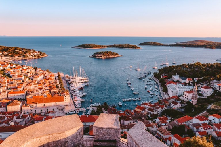 HvarThirteen services reach the town
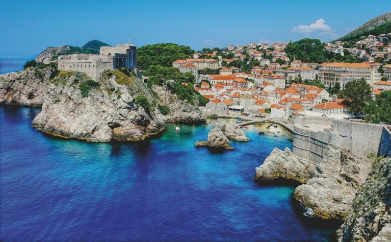 DubrovnikCity walls, and the Elaphiti at the door
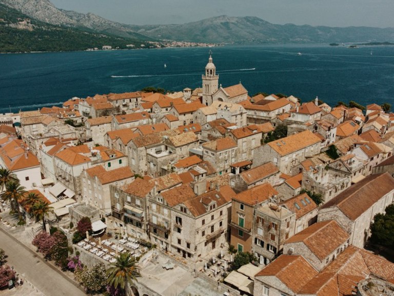 KorčulaFrom Dubrovnik in high summer only
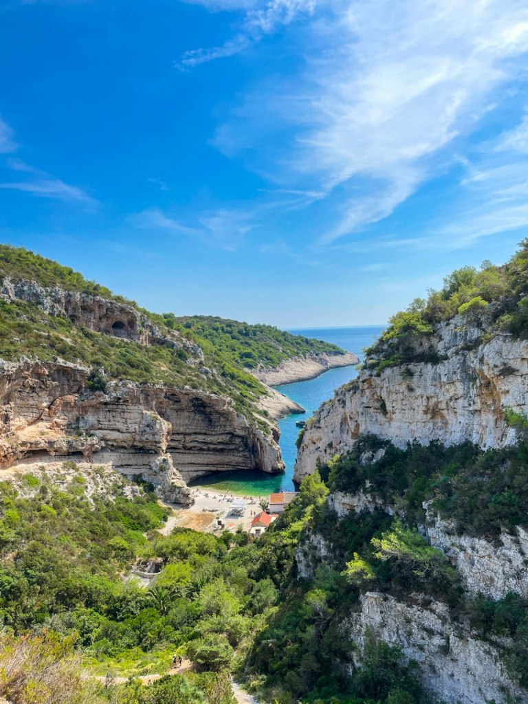 VisFurthest out, and better for it
 BračThe nearest island to the mainland
 RovinjA Venetian old town on a peninsulaAll the islandsWhich are a day out, which are a week →
Zadar
A quiet archipelago, barely booked
Istria
Hill towns and very long lunches
Mljet
Two salt lakes inside a national park
Zagreb
The gateway that works all year
Pula
A Roman amphitheatre still in use
Šibenik
The quiet way into Krka
Makarska
Beaches under the Biokovo wall
Photos: Spencer Davis, Aleksandra Krasinska, Matthias Mullie, Lidija Divjak, Slobodan Špijunović, Mr. Söbau and Emin Huric, via Unsplash.
Or start from the decision
Work back from the question
If you know the problem but not the place, these are the pages that start from the choice rather than the map.
Read the timetable first,
then book the trip
Know which boats run on your dates, where to sleep the first night and what to book early, before you pay for anything.
Ferry data: Agencija za obalni linijski pomorski promet (ZOLPP), 2026 state coastal line register and per-line timetables. Climate data: DHMZ (meteo.hr), climate normals 1971–2000. Passenger figures: Državni zavod za statistiku (DZS), monthly airport traffic releases. Island counts: Registar otoka, Republic of Croatia.